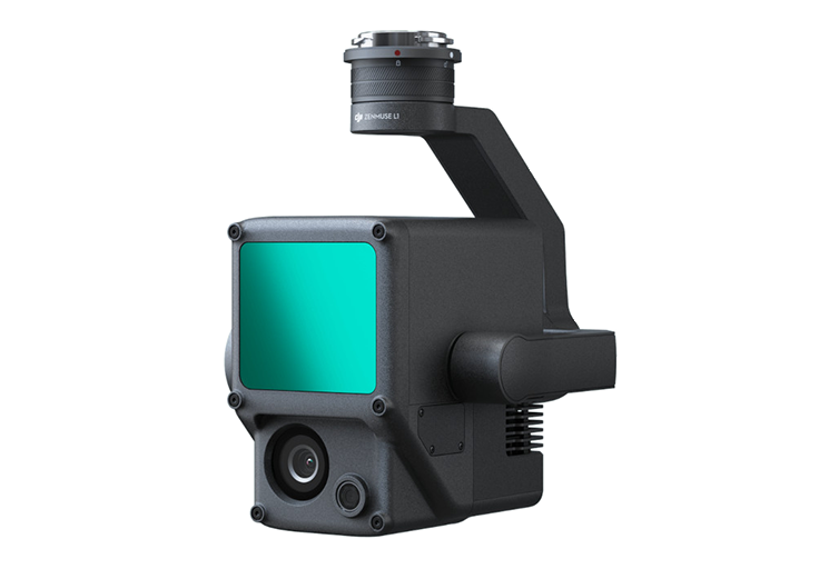
Unmanned Aerial Vehicles - DJI M300
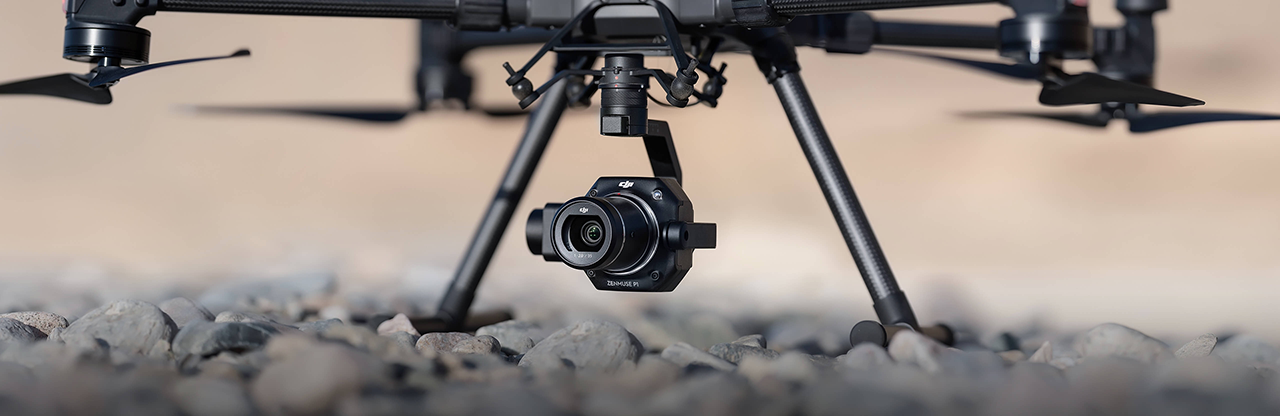
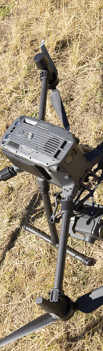
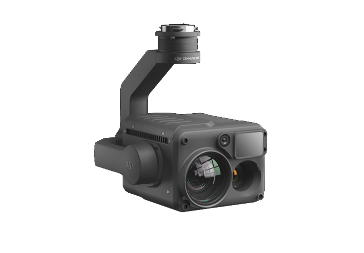
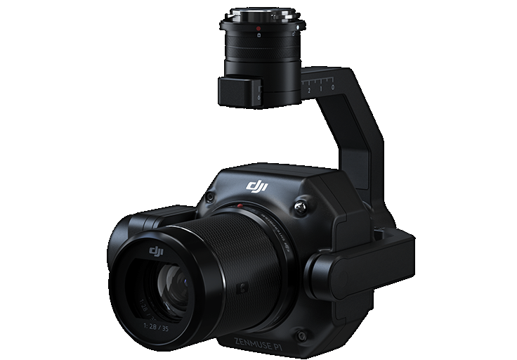
We fly the DJI Matrice M300 which is the top-of-the-line Search and Rescue, and Industrial Inspection unmanned aerial vehicle currently available. The ultimate flexibility of this platform comes from the reconfigurable gimbal configuration allowing a wide range of payloads to be carried to meet specific client needs. The M300 UAV:
| Has a flight duration of up to 55 minutes depending on payload. Use of hot swappable batteries and with flight turnaround of 3-5 minutes facilitates continuous operations. |
Is suitable for operations in harsh conditions:
- -20C to 50C
- IP45 Water and Dust Ingress rating
- Operational Ceiling of 7000m
- Wind rating of 54kmph
|
| Can perform a safe landing on 3 motors, increasing its operational safety near people. |
Is able to be operated with two controllers simultaneously, facilitating either:
- multiple remote pilots in command for expansive operations; or
- the splitting of the role of Pilot and Search Operator to provide an optimised workflow.
|
We can provide video streaming:
- Local Streaming to the primary or second controller and display on a standalone HDMI Monitor; or
- live stream to third parties via the AWS Cloud.
|
| Has 25km certified Automatic Dependent Surveillance Broadcast (ADS-B) Receive capability on board to track air traffic operating in the airspace. |
| Features many redundant systems to maximise the safety of the aircraft and those that are operating near it. These include Inertial Management Units, Barometers, GPS units and Antennas, Compasses, Beacons, Vision and Time of Flight Sensors and Flight Batteries. |
Survey and Inspection Accuracy
Accuracy when constructing maps and 3D models is imperative. The quality of the results produced are a function of the Technology used and the workflow executed. It is impossible to increase the accuracy bad data and it is therefore imperative that the most accuracy if a consideration through the the entire process of data capture and data processing.
Data Capture
At PHIRE-1 Solutions Pty Ltd (PH1S), we use a range of technologies to ensure that the work we provide to clients meets their stringent demands. The choice of a UAV that supports Real Time Kinematics and the operational use of Ground Control Points are crucial to the quality of deliverables as they provide the analyst with three means of validating the solution.
| Real Time Kinematics (RTK) |
Utilising an RTK solution (UAV + Base Station) ensures that the operator has a basic accurate solution from which to confirm his plan execution. It also provides the Analyst with a perspective on the overall accuracy of the solution when compared with the other tools used in the back office. |
| Post Processed Kinematics (PPK) |
By building a PPK solution, the Analyst is able to get a second view of the accuracy of the data that has been captured. There should be no significant difference between the solutions. |
| Ground Control/Check Points (GCPs) |
Ground Control Points are fed into the mathematics of the solution to increase its accuracy. Ground Check Points provide a further means of checking the accuracy of the overall solution. |
Back Office and Analytics
Once the sensing phase is complete, PH1S will provide data that meets your specific requirements in the form of GIS objects (Vector or raster layers, TIFFs etc), orthographic images and 3D Models, or just plain JPEGs.
PH1S is equipped to provide rapid mapping solutions in the field using Pix4DReact or Pix4DField. 3D models are provided using DJI Terra and/or Pix4DMapper. 3D objects can be provided in either OBJ or FBX format. For Point Clouds, PH1S can provide LAS and other format solutions.
PHI1S utilises a range of different products to construct our solutions.
| Pix4D Mapper is used for construction of Othographic maps and 3Dimensional Models |
| Pix4D Fields is a mobile application that is used for generating orthomosaic images of agricultural and other land. It is also used to generate indicies that can identify issues such as poor irrigation and crop infestation in the agriculture industry. |
| Pix4D React is a mobile appliciation that is used to rapidly generate Emergency Services orthographic images in the field to assist wiith the management of incidents. |
| Terra Solid is our tool of choice for the editing of point clouds to generate high quality Digital Surface, Digital Terrain and Digital Elevation Models. |